Augmented Reality Sandbox
Details
In room SB 140
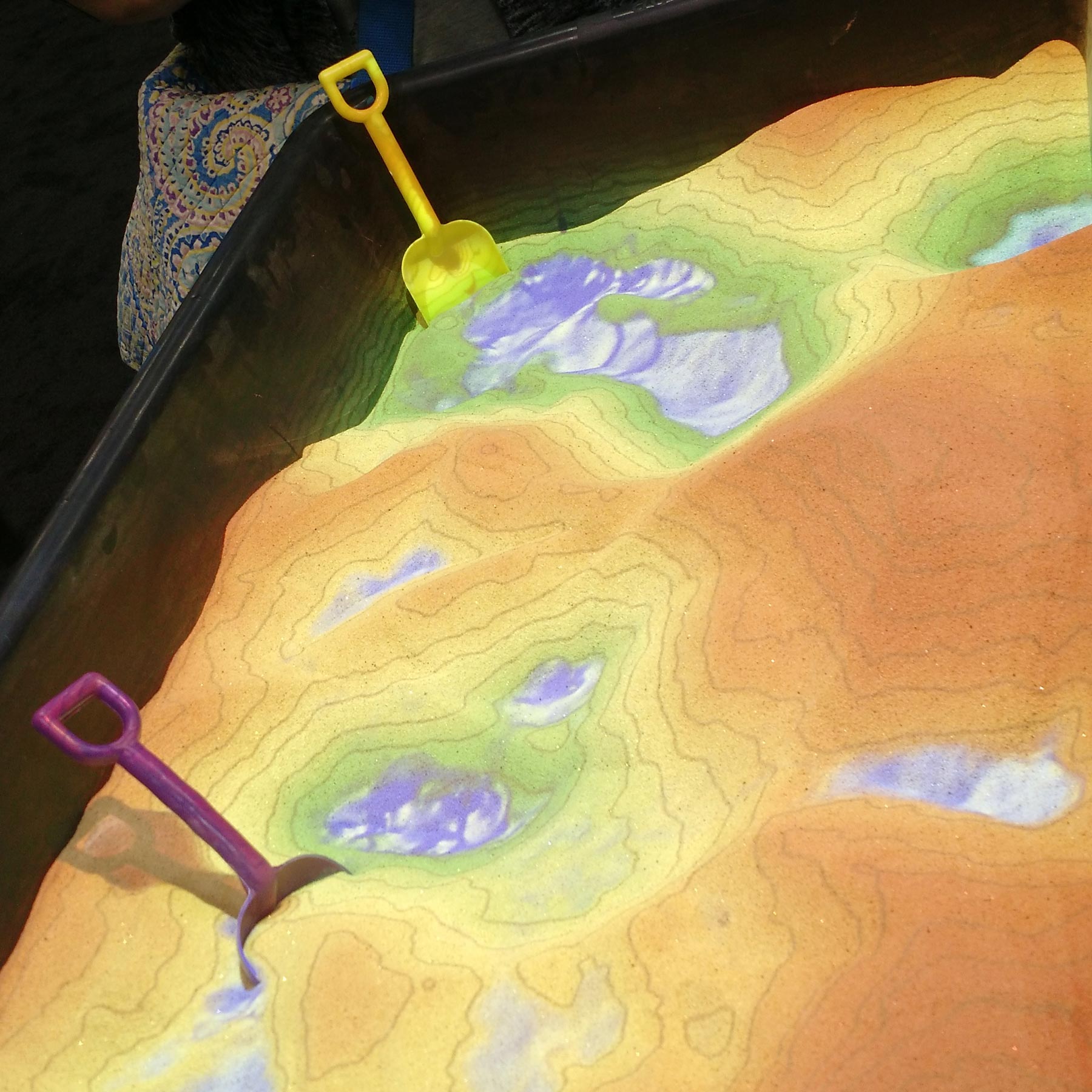
Shaping Watersheds
Geologists and cartographers from the Indiana Geological and Water Survey will demonstrate the relationships between landforms, topographic maps, and watersheds with our interactive Augmented Reality (AR) Sandbox.
The AR Sandbox is an augmented reality system that overlays high-resolution contour lines, elevation color shading, and simulated water flow onto a mobile sand table in real-time to help teach various geographic, geologic, and hydrologic concepts through 3-D visualizations. Users can create their own landscapes and see the overlay of contour lines on a custom land surface. Make it “rain” and see where the water flows!
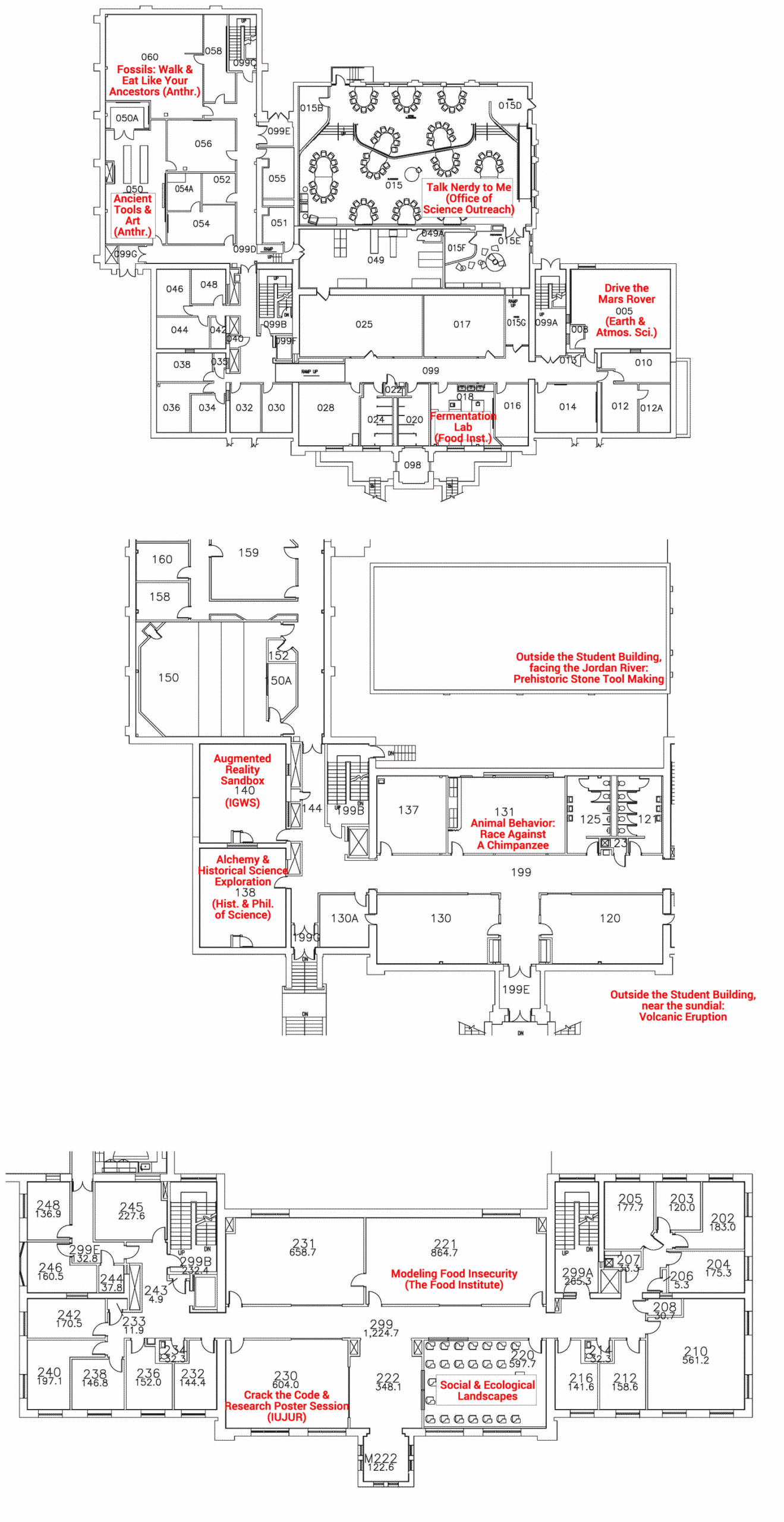
Building Map