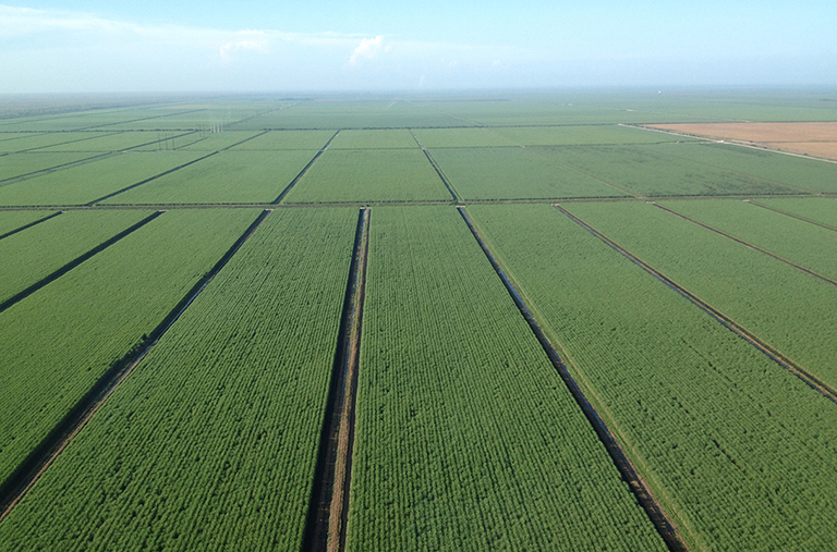
Interpret a Satellite Image
Details
CASEL Lab: SB 331
Members of the CASEL lab at IU will show how we can use satellite imagery and Geographic Information Systems to study and monitor human interaction with the environment in urban areas and forest environments.
Explore your world in a new way by using your newly learned skills to look at and interpret various satellite images of Bloomington, Indiana. Meet and learn from graduate students in the CASEL lab who use remote sensing and GIS in their research every day!
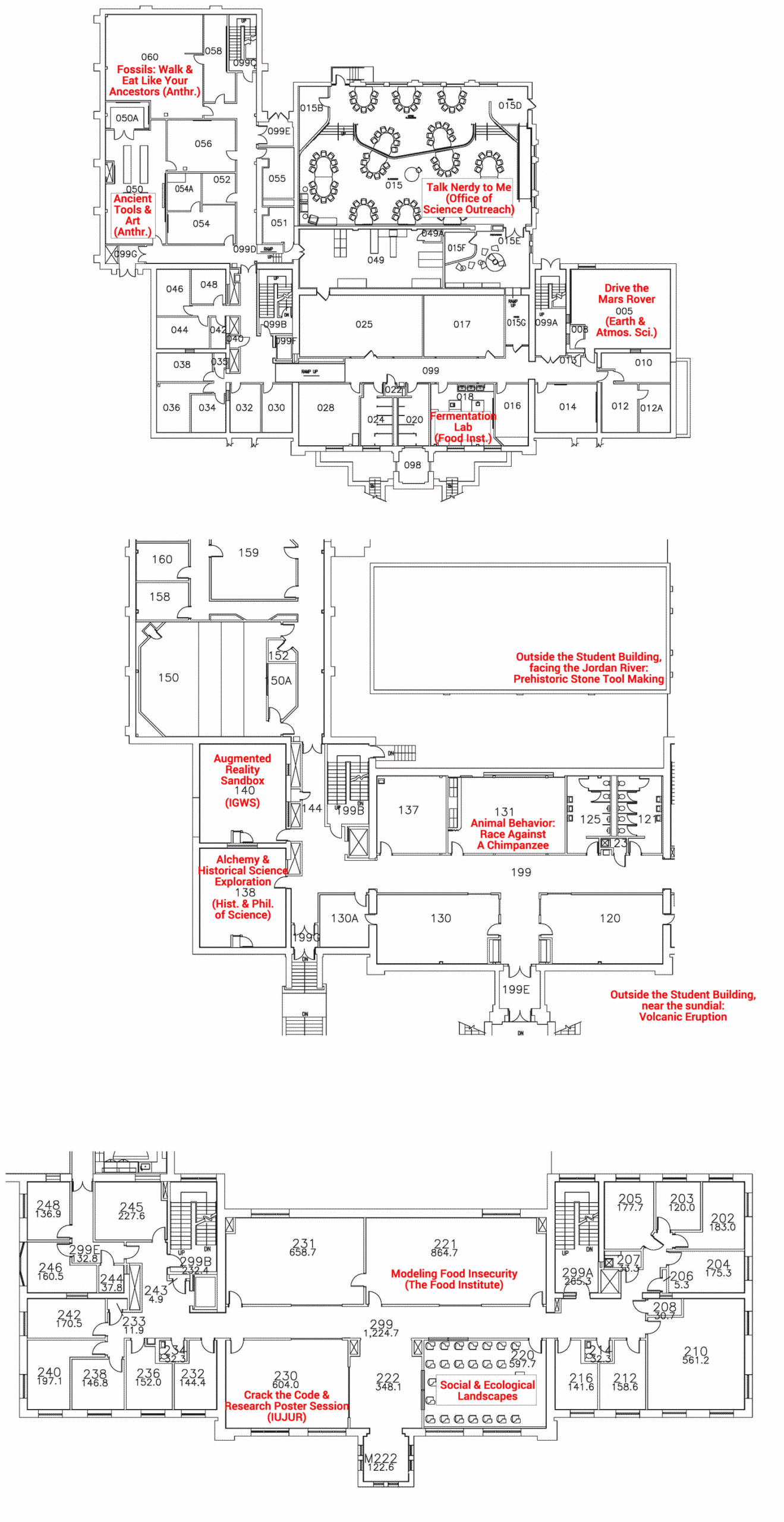
Building Map